Great Victorian Rail Trail Ride December 2015
During December 2015, I got to fulfil a long held desire to ride the full length of the Great Victoria Bike Trail which follows the former path of the Mansfield railway line. When I got home I wanted to compare what I saw in 2015 to the days when the line was operational. This is the result.
Photographs are my own (taken on 15th and 16th of December 2015) or historical material sourced from Weston Langford's site http://westonlangford.com, http://www.yea.com.au/content/yea-railway or http://www.greatvictorianrailtrail.com.au/.
Stations
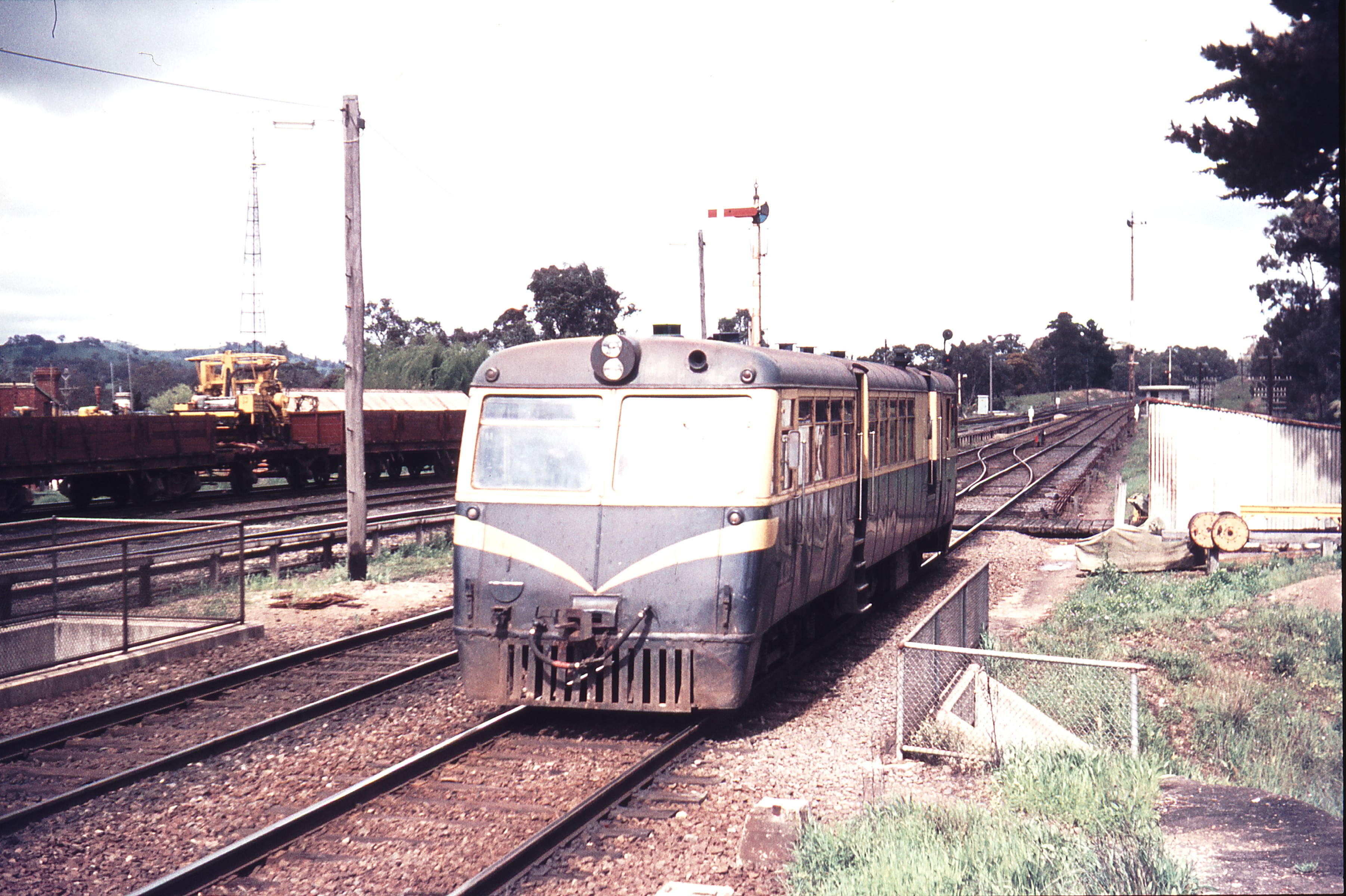
Tallarook
Tallarook used to be the junction where the Mansfield line diverged from the main North Eastern line. It was an interlocked station with signal box.


http://westonlangford.com/media/photos/111761.jpg
All that remains now are two platforms and no sidings. The station is unmanned.

Trawool
Trawool was a staff locked siding with a goods shed and passenger platform.


Kerrisdale
Kerrisdale was another small staff locked siding.


http://westonlangford.com/media/photos/103271.jpg

Homewood
Homewood was another small staff locked siding.


Yea
Yea was a plunger locked crossing station with signals. It had an engine shed and turntable. I read somewhere it was home to the least travelled locomotive in the state that did the goods run to Alexandra. From here the line crosses the Yea River flood plain on a number of bridges before commencing the climb towards Cheviot and then to the tunnel before Balham.


http://westonlangford.com/media/photos/111762.jpg

Cheviot
Cheviot was a small staff locked siding that was a superphospate distribution centre in its final days. The station site is on the climb towards the tunnel. The gradient eases slightly through the station site, then the climb resumes to the summit at the eastern end of the tunnel.


Cheviot Tunnel
The tunnel near Cottons Pinch is located between Cheviot and Belham. Nothing remains at Belham which is on the downhill run into Molesworth.


http://westonlangford.com/media/photos/113819.jpg
Molesworth
Molesworth was another small staff locked siding station. It served a small township on the highway nearby. It is at the bottom of a long downhill run from the tunnel near Cheviot, nestled on the Gouburn River flood plain.


Cathkin
Cathkin was a plunger locked station with signals that was the junction to the spur line to Alexandra. There was a turntable to turn locomotives around located on a siding that ran between the two branch lines a little way down from the station. The section between Molesworth and Cathkin is one of the most pleasant to ride due to it being flat and well shaded. There are a number of bridges crossing the Goulburn River flood plain.


Yark
Yark is another example of a staff locked siding station that served a small town on the highway. This site has station buildings in very poor condition.


Kanumbra
Kanumbra was a staff locked siding serving the surrounding rural area.


Merton
Merton lies beyond the climb from Yark to Merton Gap, the highest point on the line. The station area has been fenced off and appears to be on private property.


Woodfield
Woodfield is another staff locked siding serving a rural area without any town nearby. There are remains of cattle yards and loading ramps but little else.


Bonnie Doon
Situated on the edge of Lake Eildon, Bonnie Doon was moved from its original location when the wall was raised to increase the capacity of the lake. Bonnie Doon was a plunger locked siding with signals to allow crossing of trains. Just beyond the station is the famous bridge across the lake.


http://westonlangford.com/media/photos/113834.jpg


Maindample
Maindample was a staff locked siding serving a small township on the highway. Nothing of the station remains other than a small part of the cattle loading ramp and the old goods shed.


Mansfield
Mansfield is the end of the line. The station had signals and plunger locking and a number of sidings and locomotive servicing facilities.


Gradient Diagrams
These diagrams show the profile of the country that the line traverses. The two main features are the climbs to Cheviot Tunnell and Merton Gap. These images are from the 1927 Victorian Railways Gradients & Curves book.


Both images from http://yea.com.au/content/yea-railway
Map
My Google map of the Great Victorian Rail Trail
More Photos
Photo album of my ride on the Great Victorian Rail Trail, December 15 and 16 2015